 Activity 3: Atlas of Change
Overview
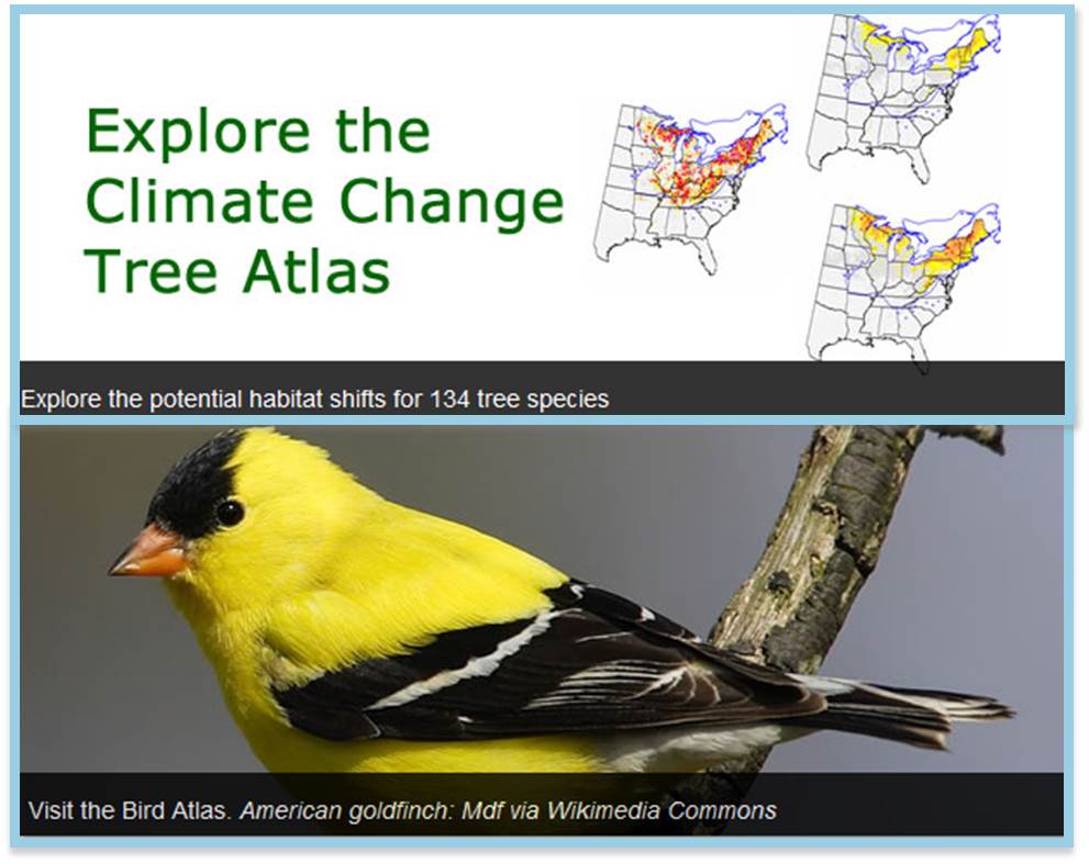
In this activity students explore the web-based U.S. Forest Service Climate Change Tree and Bird Atlases to learn about projected climate changes in their state and how suitable habitat for tree and bird species is projected to change by 2100. This activity introduces the science of modeling with an introductory slide presentation and asks students to navigate the atlases online and to understand the content provided in this tool. They synthesize this information in a set of group posters which can be used to help share information with others.
Downloads
Full Activity (does not include student pages below)
Student Pages
Presentations and Teacher Notes
- Understanding Models Presentation
- Understanding Models Teacher Notes
- Atlas Guide Presentation
- Atlas Guide Teacher Notes
Supporting Materials
Links
- Climate Change Tree Atlas – This U.S. Forest Service website provides information and maps to describe current tree and forest distribution and future suitable habitat based on climate change models.
- Climate Modeling 101 – National Academy of Science website with information and videos on how climate models are constructed and validated.
- How Do Climate Models Work? – Easy-to-understand slideshow with graphics and text to address how climate models work, how they are tested, causes of climate change, and future impacts of climate change.
- Southern Forests for the Future, a Program of the World Resources Institute – Website with maps, photos, case studies, and information to highlight key features and trends for southeastern forests.
- U.S. Forest Service Southern Futures Project – Website containing recent papers on climate change impacts to southeastern forests.
![]()
Teacher Comments
I had students working in groups of three to help each other through the activity. Each student had a computer, and they were able to access the websites together. It gave them the opportunity to discuss the material and help each other through the student pages.
The major adaptation was how we completed the posters in our classroom with few resources on hand. This was the first time I observed the students collaborating. They taped poster paper on wall in classroom and used the projector to outline the country and regions affected by the climate models. Then they used colored markers to illustrate the present conditions compared to 100 years in the future.
I thought the Atlas was wonderful. It has a lot of useful info!!
Teacher Tools


